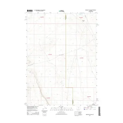
2015 Map of Mexican Flats NW
USGS Topo · Published 2015About this map
The Continental Divide bisects this high-desert landscape in southwestern Wyoming, marking the watershed boundary along the border of Sweetwater Co and Carbon Co. This 2015 survey illustrates a sparsely populated region defined more by its terrain and infrastructure than by permanent settlements. The northern portion of the map features Coal Bank Lake, a distinct water body in an otherwise arid environment, while the southern reaches are drained by Barrel Springs Draw.
Find a feature on this map
12 named features on this map. Tap any name to fly to it.
Don’t see what you’re looking for? This feature index may not catch every label — zoom into the map to look around manually.
Map Details
Editions of this 2015 Mexican Flats NW Map
This is the sole edition of this map. No revisions or reprints were ever made.
Other maps of this area

1954 · Rawlins
USGS Topo · 1:250,000

1954 · Rock Springs
USGS Topo · 1:250,000

1958 · Rawlins
USGS Topo · 1:250,000

1958 · Rock Springs
USGS Topo · 1:250,000

1962 · Rawlins
USGS Topo · 1:250,000

1962 · Rock Springs
USGS Topo · 1:250,000

1966 · High Point
USGS Topo · 1:24,000

1966 · Eightmile Lake
USGS Topo · 1:24,000

1967 · Rawlins
USGS Topo · 1:250,000

1970 · South Barrel Spring
USGS Topo · 1:24,000