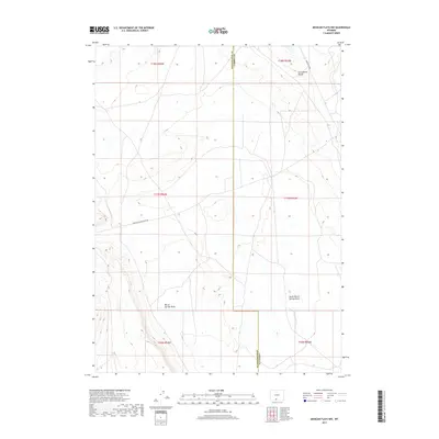
2017 Map of Mexican Flats NW
USGS Topo · Published 2017About this map
The Continental Divide bisects this high-country landscape on the border of Sweetwater and Carbon counties, marking the hydrological backbone of the region. This 2017 survey shows a land defined by ephemeral watercourses and grazing or energy-access routes, with drainage patterns flowing away from the divide into Barrel Springs Draw and North Barrel Springs Draw. The geography is partitioned by the Rectangular Survey System, clearly delineated by township lines such as t17n r94w and t18n r93w. Though largely devoid of permanent settlements, the area is navigated by specialized thoroughfares like Wamsuiter Rd and Eureka Headquarters Rd, reflecting the modern industrial and ranching utility of this high desert terrain.
Find a feature on this map
12 named features on this map. Tap any name to fly to it.
Don’t see what you’re looking for? This feature index may not catch every label — zoom into the map to look around manually.
Map Details
Editions of this 2017 Mexican Flats NW Map
This is the sole edition of this map. No revisions or reprints were ever made.
Other maps of this area

1954 · Rawlins
USGS Topo · 1:250,000

1954 · Rock Springs
USGS Topo · 1:250,000

1958 · Rawlins
USGS Topo · 1:250,000

1958 · Rock Springs
USGS Topo · 1:250,000

1962 · Rawlins
USGS Topo · 1:250,000

1962 · Rock Springs
USGS Topo · 1:250,000

1966 · High Point
USGS Topo · 1:24,000

1966 · Eightmile Lake
USGS Topo · 1:24,000

1967 · Rawlins
USGS Topo · 1:250,000

1970 · South Barrel Spring
USGS Topo · 1:24,000