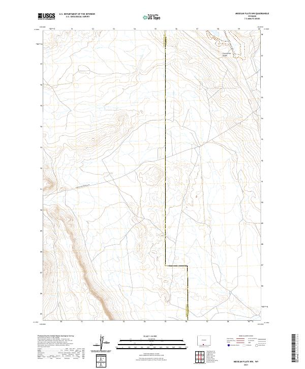
2021 Map of Mexican Flats NW
USGS Topo · Published 2021About this map
The Continental Divide winds through this high-desert terrain on the border of Sweetwater and Carbon Counties. This portion of Wyoming is defined by its vast open stretches and the critical topographic line of the divide, which dictates the hydrology of the American West. The landscape is sparsely marked by industrial and transit routes, such as Wamsutter Rd in the northeast and Eureka Headquarters Rd further south. These roads suggest the importance of energy infrastructure and ranch access in a region otherwise characterized by its isolation and topographic complexity. The map provides a look at the Public Land Survey System grid, including townships t17n r94w and t18n r93w, which underpin the legal and physical organization of this high-altitude territory.
Find a feature on this map
10 named features on this map. Tap any name to fly to it.
Don’t see what you’re looking for? This feature index may not catch every label — zoom into the map to look around manually.
Map Details
Editions of this 2021 Mexican Flats NW Map
This is the sole edition of this map. No revisions or reprints were ever made.
Other maps of this area

1954 · Rawlins
USGS Topo · 1:250,000

1954 · Rock Springs
USGS Topo · 1:250,000

1958 · Rawlins
USGS Topo · 1:250,000

1958 · Rock Springs
USGS Topo · 1:250,000

1962 · Rawlins
USGS Topo · 1:250,000

1962 · Rock Springs
USGS Topo · 1:250,000

1966 · High Point
USGS Topo · 1:24,000

1966 · Eightmile Lake
USGS Topo · 1:24,000

1967 · Rawlins
USGS Topo · 1:250,000

1970 · South Barrel Spring
USGS Topo · 1:24,000