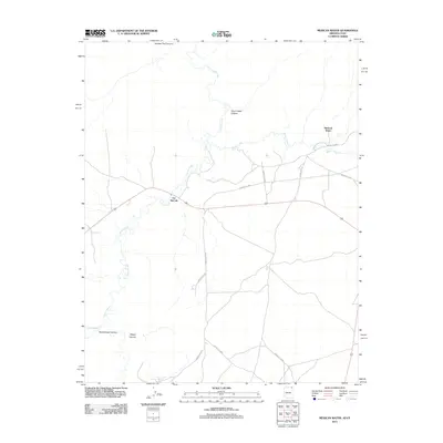
2011 Map of Mexican Water
USGS Topo · Published 2011About this map
Chinle Creek and its many tributaries, including Walker Creek and Chinle Wash, dominate the geography of this high-desert region in the early 21st century. The landscape is deeply incised by several named landforms such as Hosteen Tso Canyon, Short Grass Canyon, and Dennehotso Canyon. Settlement patterns are concentrated at Mexican Water and Tes Nez Iah, connected by a network of regional roads including Indian Rte-5060 and Indian Rte-119. The map illustrates a contemporary view of the Navajo Nation’s infrastructure, showing the relationship between small residential centers and the rugged canyon systems like Wagon Canyon that define the local topography.
Find a feature on this map
16 named features on this map. Tap any name to fly to it.
Don’t see what you’re looking for? This feature index may not catch every label — zoom into the map to look around manually.
Map Details
Editions of this 2011 Mexican Water Map
2 editions found
Other maps of this area

1886 · Abajo
USGS Topo · 1:250,000

1892 · Abajo
USGS Topo · 1:250,000

1892 · Canyon De Chelly
USGS Topo · 1:250,000

1893 · Abajo
USGS Topo · 1:250,000

1952 · Bluff 3 SE
USGS Topo · 1:24,000

1952 · Dinnehotso
USGS Topo · 1:62,500

1952 · Setsiltso Springs 2 SE
USGS Topo · 1:24,000

1952 · Setsiltso Springs 2 NE
USGS Topo · 1:24,000

1954 · Shiprock
USGS Topo · 1:250,000

1956 · Cortez
USGS Topo · 1:250,000
Featured Places
- Shiprock Agency
- Mexican Water, Shiprock Agency
- Tes Nez Iah, Shiprock Agency
- Apache County, AZ
- San Juan County, UT