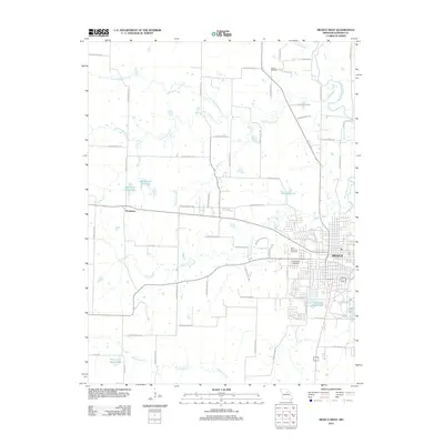
2012 Map of Mexico West
USGS Topo · Published 2012About this map
The western outskirts of Mexico define this landscape, where the residential grids of the Audrain County seat meet the agricultural plains of central Missouri. The map illustrates a transitional zone where urban development, including the Lakeview Park Lake and Teal Lake neighborhoods, gives way to a sprawling network of numbered county roads. The settlement of Thompson sits at a highway junction to the west, serving as a secondary local hub. Water is a dominant feature, with the South Fork Salt River and the meandering Davis Creek carving paths through the terrain.
Find a feature on this map
65 named features on this map. Tap any name to fly to it.
Don’t see what you’re looking for? This feature index may not catch every label — zoom into the map to look around manually.
Map Details
Editions of this 2012 Mexico West Map
This is the sole edition of this map. No revisions or reprints were ever made.
Other maps of this area

1890 · Mexico
USGS Topo · 1:125,000

1890 · Moberly
USGS Topo · 1:125,000

1932 · Mexico
USGS Topo · 1:62,500

1945 · Florida
USGS Topo · 1:62,500

1945 · Centralia
USGS Topo · 1:62,500

1948 · Quincy
USGS Topo · 1:250,000

1953 · Moberly
USGS Topo · 1:250,000

1954 · Moberly
USGS Topo · 1:250,000

1956 · Quincy
USGS Topo · 1:250,000

1957 · Moberly
USGS Topo · 1:250,000