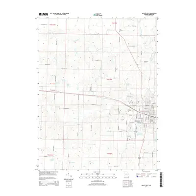
2014 Map of Mexico West
USGS Topo · Published 2014About this map
The city of Mexico serves as the focal point for this survey of Audrain County, Missouri, showing the community's westward expansion and industrial corridor. The Mo-FF railroad tracks cut through the landscape, connecting the urban center to the settlement of Thompson and supporting local transport. Several large family-named impoundments, such as Mrs Sam Locke Lake and Paul Veale Lake, indicate a history of land management and personal estate development throughout the rural outskirts.
Find a feature on this map
142 named features on this map. Tap any name to fly to it.
Don’t see what you’re looking for? This feature index may not catch every label — zoom into the map to look around manually.
Map Details
Editions of this 2014 Mexico West Map
This is the sole edition of this map. No revisions or reprints were ever made.
Other maps of this area

1890 · Mexico
USGS Topo · 1:125,000

1890 · Moberly
USGS Topo · 1:125,000

1932 · Mexico
USGS Topo · 1:62,500

1945 · Florida
USGS Topo · 1:62,500

1945 · Centralia
USGS Topo · 1:62,500

1948 · Quincy
USGS Topo · 1:250,000

1953 · Moberly
USGS Topo · 1:250,000

1954 · Moberly
USGS Topo · 1:250,000

1956 · Quincy
USGS Topo · 1:250,000

1957 · Moberly
USGS Topo · 1:250,000