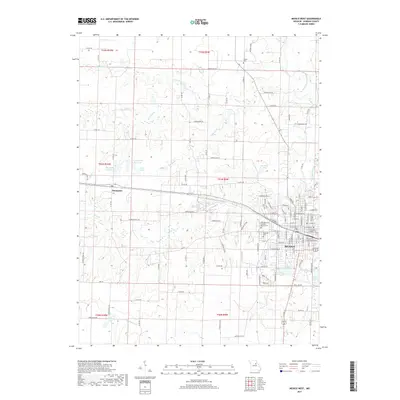
2017 Map of Mexico West
USGS Topo · Published 2017About this map
Mexico serves as the focal point of this Audrain County landscape, showing a dense street grid that extends toward the South Fork Salt River and Teal Lake. The city layout is documented alongside important local institutions, including Elmwood Cem and Saint Brendans Catholic Church Cem. To the west, the settlement of Thompson sits along the rail corridor, surrounded by a network of rural routes such as Co RD 945 and Audrain RD 920. The terrain is defined by the high ground of Pescado Ridge and the winding paths of Davis Cr and Scattering Fork. Distinctive water features like Mrs Sam Locke Lake and Number 221 Reservoir indicate the developed water management of the mid-20th century. This survey provides genealogists and local historians a detailed look at the interface between the urban growth of the county seat and the established agricultural tracts and family-named landmarks of the surrounding prairie.
Find a feature on this map
114 named features on this map. Tap any name to fly to it.
Don’t see what you’re looking for? This feature index may not catch every label — zoom into the map to look around manually.
Map Details
Editions of this 2017 Mexico West Map
This is the sole edition of this map. No revisions or reprints were ever made.
Other maps of this area

1890 · Mexico
USGS Topo · 1:125,000

1890 · Moberly
USGS Topo · 1:125,000

1932 · Mexico
USGS Topo · 1:62,500

1945 · Florida
USGS Topo · 1:62,500

1945 · Centralia
USGS Topo · 1:62,500

1948 · Quincy
USGS Topo · 1:250,000

1953 · Moberly
USGS Topo · 1:250,000

1954 · Moberly
USGS Topo · 1:250,000

1956 · Quincy
USGS Topo · 1:250,000

1957 · Moberly
USGS Topo · 1:250,000