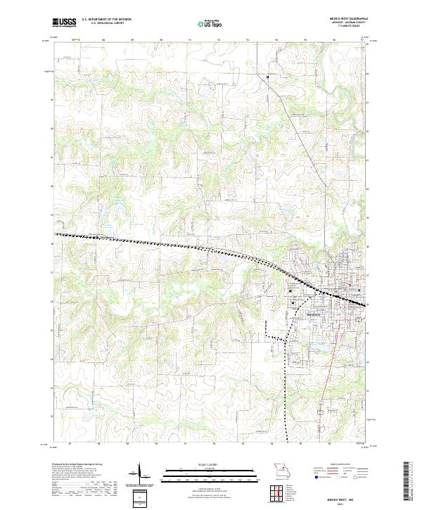
2021 Map of Mexico West
USGS Topo · Published 2021About this map
The Audrain County Courthouse stands as the central landmark of Mexico, Missouri, in this detailed 2021 study. The street grid of the city dominates the eastern portion of the map, revealing a established municipal layout that includes civic institutions and spiritual centers like the Saint Brendans Catholic Church Cem and Elmwood Cem. To the west, the village of Thompson provides a smaller hub for the surrounding agricultural landscape.
Find a feature on this map
123 named features on this map. Tap any name to fly to it.
Don’t see what you’re looking for? This feature index may not catch every label — zoom into the map to look around manually.
Map Details
Editions of this 2021 Mexico West Map
This is the sole edition of this map. No revisions or reprints were ever made.
Other maps of this area

1890 · Mexico
USGS Topo · 1:125,000

1890 · Moberly
USGS Topo · 1:125,000

1932 · Mexico
USGS Topo · 1:62,500

1945 · Florida
USGS Topo · 1:62,500

1945 · Centralia
USGS Topo · 1:62,500

1948 · Quincy
USGS Topo · 1:250,000

1953 · Moberly
USGS Topo · 1:250,000

1954 · Moberly
USGS Topo · 1:250,000

1956 · Quincy
USGS Topo · 1:250,000

1957 · Moberly
USGS Topo · 1:250,000