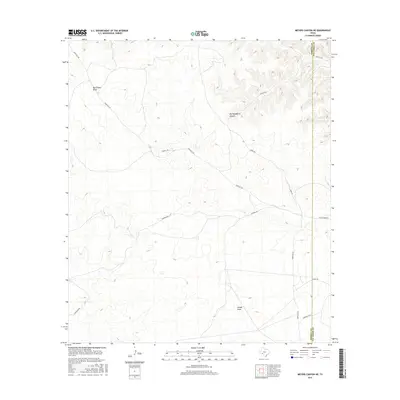
2016 Map of Meyers Canyon NE
USGS Topo · Published 2016About this map
The semi-arid canyonlands of the West Texas border region are defined here by a network of drainage features and ranch roads along the Terrell and Val Verde county line. Significant terrain features like Big Hackberry Canyon and Osman Draw carve through the landscape, illustrating the complex topography of the Edwards Plateau. The map reveals a sparse but established road system essential for navigating this remote territory, featuring several family-named or location-specific routes such as Pumpville Rd, Chapman Rd, and Chrisman Rd. These roads often follow the natural contours of the land, connecting disparate points across the draws, including the path to Big Fielder Draw. The boundary between Terrell and Val Verde counties runs vertically through the eastern portion of the map, providing a precise reference for land ownership and historical regional surveys.
Find a feature on this map
16 named features on this map. Tap any name to fly to it.
Don’t see what you’re looking for? This feature index may not catch every label — zoom into the map to look around manually.
Map Details
Editions of this 2016 Meyers Canyon NE Map
This is the sole edition of this map. No revisions or reprints were ever made.
Other maps of this area

1954 · Sonora
USGS Topo · 1:250,000

1958 · Sonora
USGS Topo · 1:250,000

1973 · Post Canyon
USGS Topo · 1:24,000
1973 · Hackberry Crossing
USGS Topo · 1:24,000
1980 · Geddis Canyon East
USGS Topo · 1:24,000
1980 · Geddis Canyon West
USGS Topo · 1:24,000
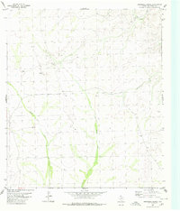
1980 · Roundhill Ranch
USGS Topo · 1:24,000
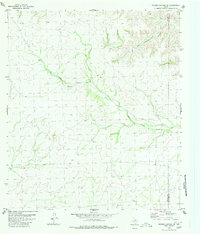
1980 · Meyers Canyon NE
USGS Topo · 1:24,000
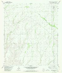
1980 · Sevenmile Canyon
USGS Topo · 1:24,000
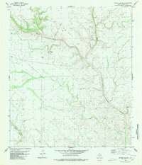
1980 · Meyers Canyon
USGS Topo · 1:24,000