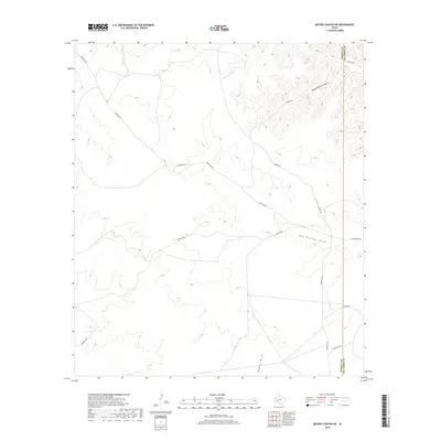
2019 Map of Meyers Canyon NE
USGS Topo · Published 2019About this map
The boundary between Terrell and Val Verde Counties bisects this West Texas landscape, where deep drainage systems dictate the local geography. Significant natural features like Big Hackberry Canyon in the north and the expansive Big Fielder Draw characterize this arid region. The drainage of Osman Draw further illustrates the complex watershed patterns typical of the Chihuahuan Desert transition zone.
Find a feature on this map
13 named features on this map. Tap any name to fly to it.
Don’t see what you’re looking for? This feature index may not catch every label — zoom into the map to look around manually.
Map Details
Editions of this 2019 Meyers Canyon NE Map
This is the sole edition of this map. No revisions or reprints were ever made.
Other maps of this area

1954 · Sonora
USGS Topo · 1:250,000

1958 · Sonora
USGS Topo · 1:250,000

1973 · Post Canyon
USGS Topo · 1:24,000
1973 · Hackberry Crossing
USGS Topo · 1:24,000
1980 · Geddis Canyon East
USGS Topo · 1:24,000
1980 · Geddis Canyon West
USGS Topo · 1:24,000
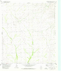
1980 · Roundhill Ranch
USGS Topo · 1:24,000
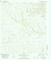
1980 · Meyers Canyon NE
USGS Topo · 1:24,000
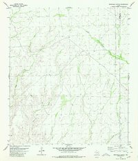
1980 · Sevenmile Canyon
USGS Topo · 1:24,000
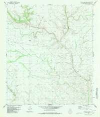
1980 · Meyers Canyon
USGS Topo · 1:24,000