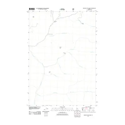
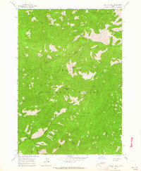
2011 Map of Meyers Cove Point
USGS Topo · Published 2011About this map
Singheiser Mine stands out as a clear indicator of the extraction history in this high-elevation landscape of Lemhi County. The drainage network is complex and central to the area's identity, with Silver Creek and Camas Creek serving as primary arteries for the numerous smaller tributaries like Sawlog Creek and Furnace Creek that carve through the terrain. Human presence is concentrated near the water, evidenced by the Splettstosser Ranch and the small-scale infrastructure of Boggeman Dam.
Find a feature on this map
17 named features on this map. Tap any name to fly to it.
Don’t see what you’re looking for? This feature index may not catch every label — zoom into the map to look around manually.
Map Details
Editions of this 2011 Meyers Cove Point Map
This is the sole edition of this map. No revisions or reprints were ever made.
Other maps of this area

1930 · Casto
USGS Topo · 1:125,000

1956 · Twin Peaks
USGS Topo · 1:62,500

1957 · Challis
USGS Topo · 1:250,000

1960 · Challis
USGS Topo · 1:250,000

1963 · Challis
USGS Topo · 1:250,000

1963 · Meyers Cove
USGS Topo · 1:24,000
1963 · Yellowjacket
USGS Topo · 1:24,000
1963 · Opal Lake
USGS Topo · 1:24,000
1963 · Duck Creek Point
USGS Topo · 1:24,000
1963 · Sheldon Peak
USGS Topo · 1:24,000