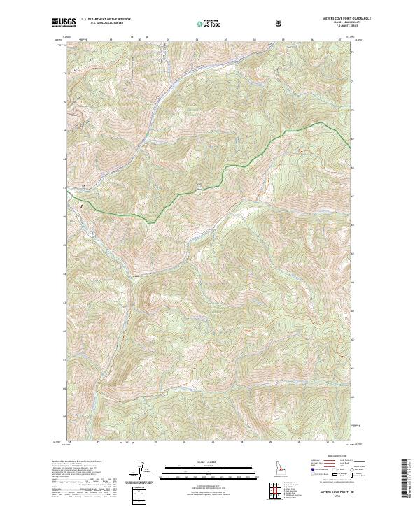
2024 Map of Meyers Cove Point
USGS Topo · Published 2024About this map
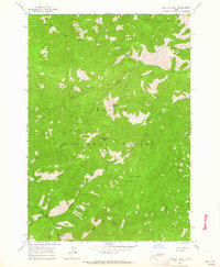
The Yellowjacket Mountains dominate this high-elevation Idaho landscape, where the headwaters of the Salmon and Challis National Forests converge. The map documents a terrain defined by mineral potential and remote access, most notably along Fluorspar Ridge and Fluorspar Gulch, names that suggest the area's geological and mining history. The drainage network is complex, with Camas Creek and Silver Creek carving through the steep topography.
Find a feature on this map
29 named features on this map. Tap any name to fly to it.
Don’t see what you’re looking for? This feature index may not catch every label — zoom into the map to look around manually.
Map Details
Editions of this 2024 Meyers Cove Point Map
This is the sole edition of this map. No revisions or reprints were ever made.
Other maps of this area

1930 · Casto
USGS Topo · 1:125,000

1956 · Twin Peaks
USGS Topo · 1:62,500

1957 · Challis
USGS Topo · 1:250,000

1960 · Challis
USGS Topo · 1:250,000

1963 · Challis
USGS Topo · 1:250,000

1963 · Meyers Cove
USGS Topo · 1:24,000
1963 · Yellowjacket
USGS Topo · 1:24,000
1963 · Opal Lake
USGS Topo · 1:24,000
1963 · Duck Creek Point
USGS Topo · 1:24,000
1963 · Sheldon Peak
USGS Topo · 1:24,000