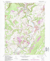
2023 Map of Meyersdale
USGS Topo · Published 2023About this map
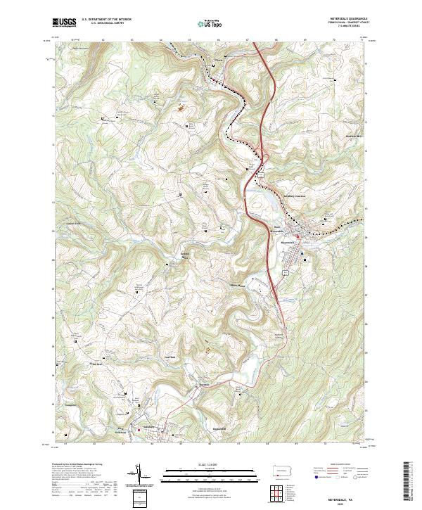
The Casselman River carves a deep valley through this portion of Somerset County, where the industrial legacy of Shaw Mines meets a landscape deeply rooted in religious and family history. This modern survey illustrates a high density of small burial grounds and church cemeteries that reflect the area's rural heritage, including the Summit Mills Amish Church Cem and the Old Joel Hershberger Farm Cem. These family-named landmarks are situated among early milling sites like Berkleys Mill and Engles Mill, pointing to a legacy of localized water-powered industry.
Find a feature on this map
172 named features on this map. Tap any name to fly to it.
Don’t see what you’re looking for? This feature index may not catch every label — zoom into the map to look around manually.
Map Details
Editions of this 2023 Meyersdale Map
This is the sole edition of this map. No revisions or reprints were ever made.
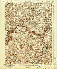
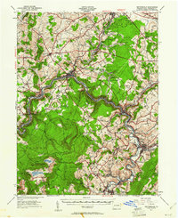
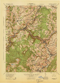
Historical Maps of Laurel Falls Through Time
6 maps found