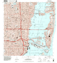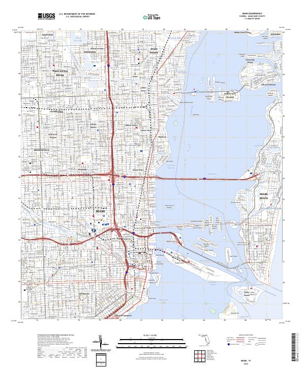
2024 Map of Miami
USGS Topo · Published 2024About this map
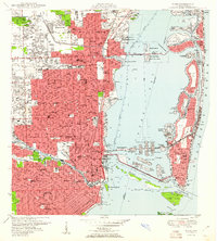
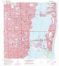
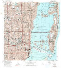
Miami and its barrier island neighbor Miami Beach are defined by an intricate network of waterways and man-made islands. From the Miami River and its forks to the Biscayne Canal, the landscape is partitioned into distinct residential and commercial neighborhoods like Lemon City, Allapattah, and Shenandoah. The map reveals the intensive development of Biscayne Bay, where the Venetian Islands, Hibiscus Island, and Star Island are linked by the MacArthur Cswy and Venetian Way.
Find a feature on this map
106 named features on this map. Tap any name to fly to it.
Don’t see what you’re looking for? This feature index may not catch every label — zoom into the map to look around manually.
Map Details
Editions of this 2024 Miami Map
This is the sole edition of this map. No revisions or reprints were ever made.
Historical Maps of All Star 36 Street Mobile Home Park Through Time
9 maps found