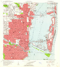
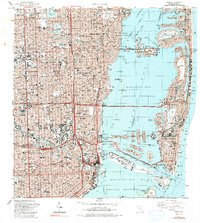
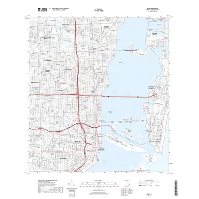
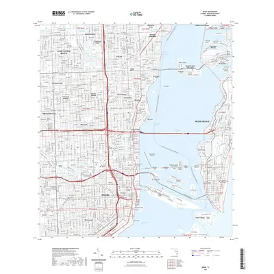
1950 Map of Miami
USGS Topo · Published 1950About this map
The Biscayne Bay waterfront and the dense urban core of Miami dominate this mid-century survey, showcasing a landscape defined by intensive coastal development and dredging. The Venetian Islands, including San Marco I and Di Lido I, stand as prominent examples of the man-made island chains that reshaped the bay during this era. Further north, the Indian Burial Mound in El Portal provides a striking contrast to the surrounding residential expansion of neighborhoods like Miami Shores and Lemon City.
Find a feature on this map
136 named features on this map. Tap any name to fly to it.
Don’t see what you’re looking for? This feature index may not catch every label — zoom into the map to look around manually.
Map Details
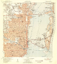
Editions of this 1950 Miami Map
2 editions found
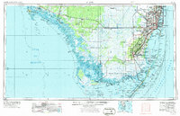
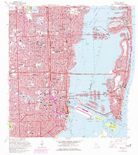
Historical Maps of Miami Through Time
13 maps found
1950 Miami
Miami-Dade County, FL
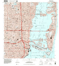
1956 Miami
Miami-Dade County, FL

1958 Miami
Miami-Dade County, FL
1962 Miami
Miami-Dade County, FL

1981 Miami
Miami-Dade County, FL

1988 Miami
Miami-Dade County, FL
1988 Miami
Miami-Dade County, FL
1994 Miami
Miami-Dade County, FL
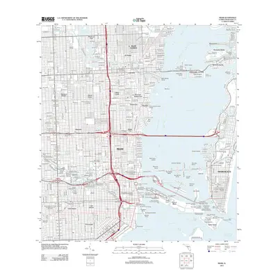
2012 Miami
Miami-Dade County, FL
2015 Miami
Miami-Dade County, FL
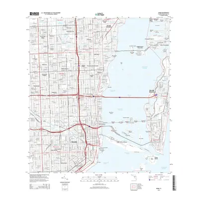
2018 Miami
Miami-Dade County, FL
2021 Miami
Miami-Dade County, FL
2024 Miami
Miami-Dade County, FL