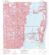
1962 Map of Miami
USGS Topo · Published 1977About this map
The Miami River and Biscayne Bay define this mid-century portrait of a rapidly expanding metropolitan area. Purple photorevisions from 1969 reveal the densification of neighborhoods like Allapattah, Shenandoah, and Lemon City, alongside the significant infrastructure of the Julia Tuttle Causeway and Mac Arthur Causeway connecting the mainland to Miami Beach. The map details the complex man-made island chains of the Venetian Islands and Sunset Islands, illustrating the extensive dredging and residential development that transformed the bay's natural shoreline.
Find a feature on this map
171 named features on this map. Tap any name to fly to it.
Don’t see what you’re looking for? This feature index may not catch every label — zoom into the map to look around manually.
Map Details
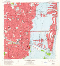
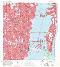
Editions of this 1962 Miami Map
3 editions found
Other maps of this area

1947 · North Miami
USGS Topo · 1:24,000

1947 · Key Biscayne
USGS Topo · 1:24,000

1949 · Opalocka
USGS Topo · 1:24,000

1949 · Key Biscayne
USGS Topo · 1:24,000

1950 · Hialeah
USGS Topo · 1:24,000

1950 · Miami
USGS Topo · 1:24,000

1950 · North Miami
USGS Topo · 1:24,000

1950 · South Miami
USGS Topo · 1:24,000

1956 · South Miami
USGS Topo · 1:24,000

1956 · Miami
USGS Topo · 1:250,000