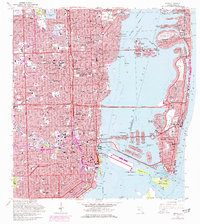
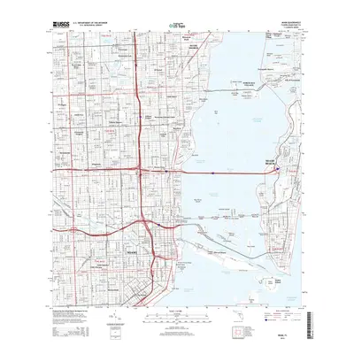
1962 Map of Miami
USGS Topo · Published 1970About this map
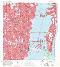
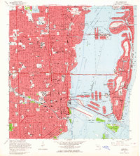
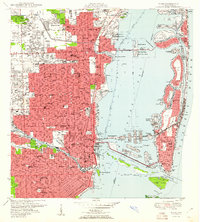
The Miami waterfront and its complex island geography are captured during a period of significant urban transformation. This survey highlights the intricate network of causeways, including the Julia Tuttle Causeway and Mac Arthur Causeway, connecting the mainland to Miami Beach. The map shows the dredged and developed landforms that define the bay, from the residential Venetian Islands to the industrial Dodge Islands and the expanding Government Cut.
Find a feature on this map
124 named features on this map. Tap any name to fly to it.
Don’t see what you’re looking for? This feature index may not catch every label — zoom into the map to look around manually.
Map Details
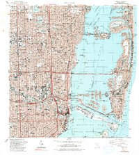
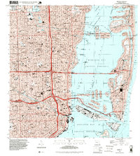
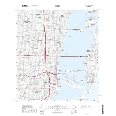
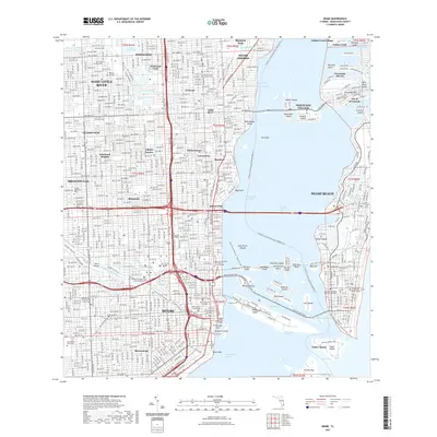
Editions of this 1962 Miami Map
3 editions found
Historical Maps of Miami Through Time
13 maps found
1950 Miami
Miami-Dade County, FL
1956 Miami
Miami-Dade County, FL

1958 Miami
Miami-Dade County, FL
1962 Miami
Miami-Dade County, FL

1981 Miami
Miami-Dade County, FL

1988 Miami
Miami-Dade County, FL
1988 Miami
Miami-Dade County, FL
1994 Miami
Miami-Dade County, FL
2012 Miami
Miami-Dade County, FL
2015 Miami
Miami-Dade County, FL
2018 Miami
Miami-Dade County, FL
2021 Miami
Miami-Dade County, FL
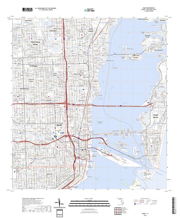
2024 Miami
Miami-Dade County, FL