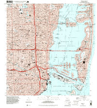
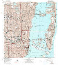
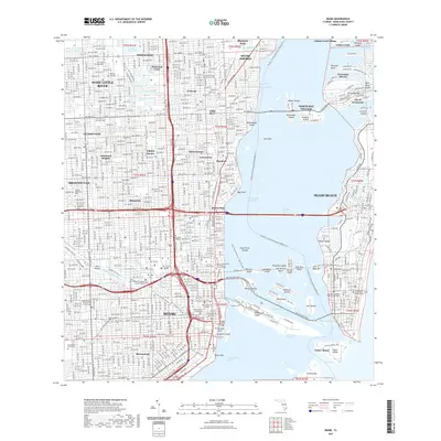
1994 Map of Miami
USGS Topo · Published 1999About this map
The dense urban corridor of Miami and Miami Beach is mapped here during a decade of significant growth, showing the intricate network of bridges and causeways that link the mainland to the barrier islands. The map highlights the massive scale of Dodge Island and Lummus Island, critical hubs for maritime commerce and travel within the Biscayne Bay waters.
Find a feature on this map
108 named features on this map. Tap any name to fly to it.
Don’t see what you’re looking for? This feature index may not catch every label — zoom into the map to look around manually.
Map Details
Editions of this 1994 Miami Map
This is the sole edition of this map. No revisions or reprints were ever made.
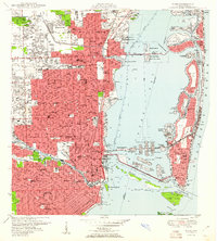
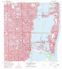
Historical Maps of Miami Through Time
13 maps found
1950 Miami
Miami-Dade County, FL
1956 Miami
Miami-Dade County, FL

1958 Miami
Miami-Dade County, FL
1962 Miami
Miami-Dade County, FL

1981 Miami
Miami-Dade County, FL

1988 Miami
Miami-Dade County, FL
1988 Miami
Miami-Dade County, FL
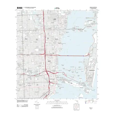
1994 Miami
Miami-Dade County, FL
2012 Miami
Miami-Dade County, FL
2015 Miami
Miami-Dade County, FL
2018 Miami
Miami-Dade County, FL
2021 Miami
Miami-Dade County, FL
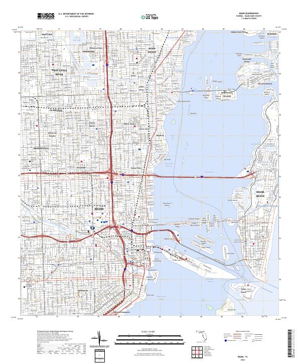
2024 Miami
Miami-Dade County, FL