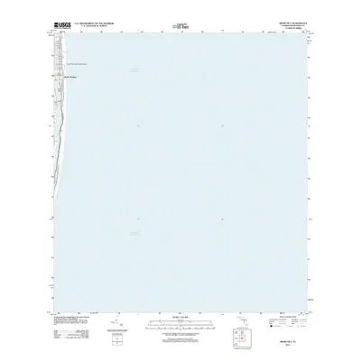
2012 Map of Miami OE E
USGS Topo · Published 2012About this map
Atlantic Heights occupies a narrow strip of the Florida coastline on this 2012 survey, defined by the narrow corridor between the Atlantic Ocean and the inland waterways. The map illustrates a highly developed barrier island environment where residential and commercial blocks are neatly organized along Collins Ave and Harding Ave. This coastal section is characterized by its man-made geography, including the private enclave of Allison Island and the residential finger of land bordered by the Tatum Waterway.
Find a feature on this map
17 named features on this map. Tap any name to fly to it.
Don’t see what you’re looking for? This feature index may not catch every label — zoom into the map to look around manually.
Map Details
Editions of this 2012 Miami OE E Map
This is the sole edition of this map. No revisions or reprints were ever made.
Other maps of this area

1947 · North Miami
USGS Topo · 1:24,000

1947 · Key Biscayne
USGS Topo · 1:24,000

1949 · Key Biscayne
USGS Topo · 1:24,000

1950 · Miami
USGS Topo · 1:24,000

1950 · North Miami
USGS Topo · 1:24,000

1956 · Miami
USGS Topo · 1:250,000

1958 · Miami
USGS Topo · 1:250,000
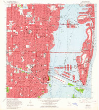
1962 · Miami
USGS Topo · 1:24,000
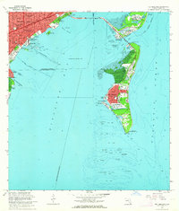
1962 · Key Biscayne
USGS Topo · 1:24,000
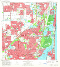
1962 · North Miami
USGS Topo · 1:24,000