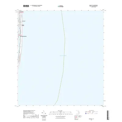
2021 Map of Miami OE E
USGS Topo · Published 2021About this map
Miami Beach and the neighboring community of Surfside occupy the narrow barrier island depicted in this coastal survey. The map details the dense urban layout along the Atlantic shore, including the residential and resort blocks of Atlantic Heights and the public access at Ocean Terrace Public Beach. The geography is defined by the contrast between the open Atlantic Ocean and the sheltered inland waterways, notably the Tatum Waterway, Indian Creek, and the eastern edge of Biscayne Bay. Transportation routes such as Collins Ave and Indian Creek Dr parallel the coastline, while the East Coast Greenway - Dade Corridor Trl indicates the area's modern infrastructure for coastal transit and recreation.
Find a feature on this map
22 named features on this map. Tap any name to fly to it.
Don’t see what you’re looking for? This feature index may not catch every label — zoom into the map to look around manually.
Map Details
Editions of this 2021 Miami OE E Map
This is the sole edition of this map. No revisions or reprints were ever made.
Other maps of this area

1947 · North Miami
USGS Topo · 1:24,000

1947 · Key Biscayne
USGS Topo · 1:24,000

1949 · Key Biscayne
USGS Topo · 1:24,000

1950 · Miami
USGS Topo · 1:24,000

1950 · North Miami
USGS Topo · 1:24,000

1956 · Miami
USGS Topo · 1:250,000

1958 · Miami
USGS Topo · 1:250,000
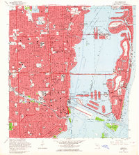
1962 · Miami
USGS Topo · 1:24,000
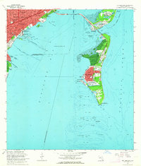
1962 · Key Biscayne
USGS Topo · 1:24,000
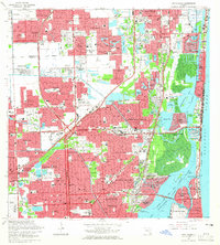
1962 · North Miami
USGS Topo · 1:24,000