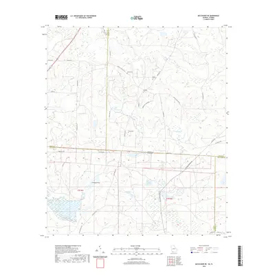
2020 Map of Miccosukee NE
USGS Topo · Published 2020About this map
The Georgia Florida state line bisects this landscape where the Red Hills of Thomas and Grady Counties meet the northern edge of Leon County. This borderland is defined by large landholdings and numerous water features, notably the expansive Foshalee Lake and several named basins like Gin House Pond and Original Pond. The map reveals a high density of rural cemeteries, including Blalock Cem, Copeland Cem, and both Springhill Cem and Spring Hill Cem, which suggest long-standing local family ties and historical community clusters.
Find a feature on this map
40 named features on this map. Tap any name to fly to it.
Don’t see what you’re looking for? This feature index may not catch every label — zoom into the map to look around manually.
Map Details
Editions of this 2020 Miccosukee NE Map
This is the sole edition of this map. No revisions or reprints were ever made.
Other maps of this area

1954 · Valdosta
USGS Topo · 1:250,000

1954 · Tallahassee
USGS Topo · 1:250,000

1956 · Cairo
USGS Topo · 1:62,500

1956 · Metcalf
USGS Topo · 1:24,000

1957 · Beachton
USGS Topo · 1:24,000

1957 · Miccosukee NE
USGS Topo · 1:24,000

1957 · Thomasville
USGS Topo · 1:62,500

1958 · Valdosta
USGS Topo · 1:250,000

1959 · Tallahassee
USGS Topo · 1:250,000

1959 · Valdosta
USGS Topo · 1:250,000