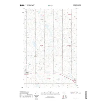
2017 Map of Michigan East
USGS Topo · Published 2017About this map
Michigan City and Petersburg anchor the southern portion of this Nelson County landscape, where the prairie is defined by a dense network of glacial wetlands and small water bodies. The terrain is characterized by hundreds of depressions and potholes, with Lake Miller serving as a prominent landmark in the north. The rectilinear grid of section roads, such as 48th St NE and 118th Ave NE, highlights the agricultural organization of the Red River Valley's western edge.
Find a feature on this map
34 named features on this map. Tap any name to fly to it.
Don’t see what you’re looking for? This feature index may not catch every label — zoom into the map to look around manually.
Map Details
Editions of this 2017 Michigan East Map
This is the sole edition of this map. No revisions or reprints were ever made.
Other maps of this area

1939 · Niagara
USGS Topo · 1:62,500

1942 · McVille
USGS Topo · 1:62,500

1952 · Grand Forks
USGS Topo · 1:250,000

1952 · Thief River Falls
USGS Topo · 1:250,000

1952 · New Rockford
USGS Topo · 1:250,000

1953 · Devils Lake
USGS Topo · 1:250,000

1956 · New Rockford
USGS Topo · 1:250,000

1956 · Thief River Falls
USGS Topo · 1:250,000

1956 · Devils Lake
USGS Topo · 1:250,000

1956 · Grand Forks
USGS Topo · 1:250,000