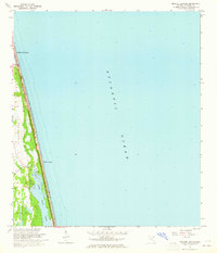
1964 Map of Mickler Landing
USGS Topo · Published 1965About this map
The narrow coastal strip of St. Johns County is captured here in the mid-1960s, showing a landscape defined by the parallel features of the Florida shoreline. Lake Ponte Vedra stretches behind the primary dune line, separating the beachfront from the expansive Diego Plains to the west. While Ponte Vedra Beach shows early residential development and a structured grid at the northern edge, the area around Mickler Landing remains remarkably open, characterized by a Jeep Trail and a vast Tidal Flat. This survey, revised from 1962 aerial photography, documents the topography before the heavy intensification of the Atlantic coast, preserving the original relationship between the open Atlantic Ocean and the low-lying plains and marshes of the inland side.
Find a feature on this map
10 named features on this map. Tap any name to fly to it.
Don’t see what you’re looking for? This feature index may not catch every label — zoom into the map to look around manually.
Map Details
Editions of this 1964 Mickler Landing Map
4 editions found
Other maps of this area

1918 · Palm Valley
USGS Topo · 1:62,500

1918 · Mayport
USGS Topo · 1:62,500

1948 · Jacksonville
USGS Topo · 1:250,000

1948 · Jacksonville Beach
USGS Topo · 1:24,000

1949 · Jacksonville Beach
USGS Topo · 1:24,000
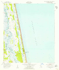
1952 · South Ponte Vedra Beach
USGS Topo · 1:24,000
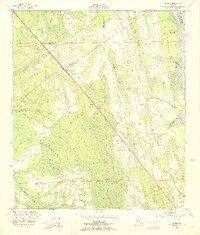
1952 · Durbin
USGS Topo · 1:24,000
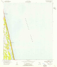
1952 · Mickler Landing
USGS Topo · 1:24,000
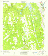
1952 · Palm Valley
USGS Topo · 1:24,000

1957 · Jacksonville
USGS Topo · 1:250,000