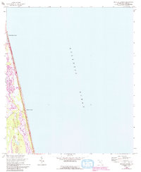
1964 Map of Mickler Landing
USGS Topo · Published 1992About this map
Ponte Vedra Beach and the surrounding coastline of St. Johns County are captured here during a period of transition, reflecting survey data from the mid-1940s updated with 1960s and 1990s aerial revisions. The landscape is defined by the narrow barrier strip between the Atlantic Ocean and the inland waters of Lake Ponte Vedra and the Guana River. This map highlights the early footprints of coastal recreation, including a Golf Course and the primary transit artery of a1a. Much of the southern portion of the sheet is dedicated to the Guana River State Park, preserving the natural state of the Diego Plains against the burgeoning development further north. Settlement is concentrated around the coastal access at Mickler Landing, where the interface of land and sea dictated the local geography long before the dense residential expansion of later decades.
Find a feature on this map
11 named features on this map. Tap any name to fly to it.
Don’t see what you’re looking for? This feature index may not catch every label — zoom into the map to look around manually.
Map Details
Editions of this 1964 Mickler Landing Map
4 editions found
Other maps of this area

1918 · Palm Valley
USGS Topo · 1:62,500

1918 · Mayport
USGS Topo · 1:62,500

1948 · Jacksonville
USGS Topo · 1:250,000

1948 · Jacksonville Beach
USGS Topo · 1:24,000

1949 · Jacksonville Beach
USGS Topo · 1:24,000
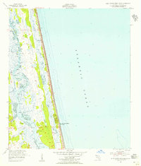
1952 · South Ponte Vedra Beach
USGS Topo · 1:24,000
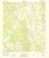
1952 · Durbin
USGS Topo · 1:24,000
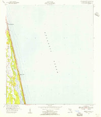
1952 · Mickler Landing
USGS Topo · 1:24,000
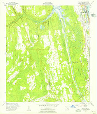
1952 · Palm Valley
USGS Topo · 1:24,000

1957 · Jacksonville
USGS Topo · 1:250,000