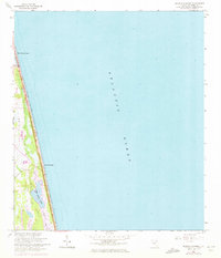
1964 Map of Mickler Landing
USGS Topo · Published 1972About this map
Ponte Vedra Beach and the surrounding coastline of St. Johns County are captured here just as significant residential and recreational development began to take hold in the mid-1960s. The geography is defined by a narrow barrier strip between the Atlantic Ocean and a series of interior waterways, including Lake Ponte Vedra and the Guano River. This coastal corridor exhibits the early layout of seaside roads and a trail network that navigated the low-lying Diego Plains.
Find a feature on this map
10 named features on this map. Tap any name to fly to it.
Don’t see what you’re looking for? This feature index may not catch every label — zoom into the map to look around manually.
Map Details
Editions of this 1964 Mickler Landing Map
4 editions found
Other maps of this area

1918 · Palm Valley
USGS Topo · 1:62,500

1918 · Mayport
USGS Topo · 1:62,500

1948 · Jacksonville
USGS Topo · 1:250,000

1948 · Jacksonville Beach
USGS Topo · 1:24,000

1949 · Jacksonville Beach
USGS Topo · 1:24,000
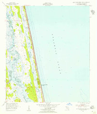
1952 · South Ponte Vedra Beach
USGS Topo · 1:24,000
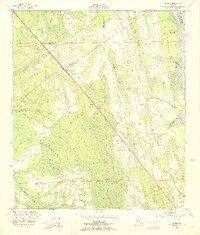
1952 · Durbin
USGS Topo · 1:24,000
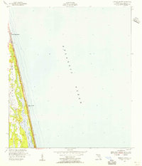
1952 · Mickler Landing
USGS Topo · 1:24,000
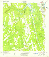
1952 · Palm Valley
USGS Topo · 1:24,000

1957 · Jacksonville
USGS Topo · 1:250,000