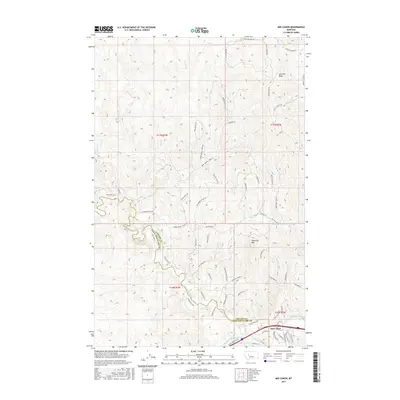
2017 Map of Mid Canon
USGS Topo · Published 2017About this map
The Missouri River winds through the southeastern corner of this landscape, defining the small settlement of Mid Canon along its banks. This region marks a significant topographical boundary where the Dearborn River joins the larger waterway, carving through the terrain near the Cascade and Lewis and Clark County line. The northern portion of the map is dominated by prominent summits such as Sawmill Peak and Sugarloaf Mtn, with numerous drainages like Sheep Cr and Sawmill Cr feeding into the river system. A complex network of access routes, including the Rustlers Trl and various fire roads, suggests a landscape managed for both recreation and resource protection. Notable local landmarks like Bitterroot Ridge Ln and Eagles Nest Ln emphasize the high-relief character of this Montana canyon country.
Find a feature on this map
65 named features on this map. Tap any name to fly to it.
Don’t see what you’re looking for? This feature index may not catch every label — zoom into the map to look around manually.
Map Details
Editions of this 2017 Mid Canon Map
This is the sole edition of this map. No revisions or reprints were ever made.
Other maps of this area

1886 · Great Falls
USGS Topo · 1:250,000

1943 · Hogan
USGS Topo · 1:125,000

1954 · Great Falls
USGS Topo · 1:250,000

1955 · Choteau
USGS Topo · 1:250,000

1957 · Choteau
USGS Topo · 1:250,000

1957 · Great Falls
USGS Topo · 1:250,000

1958 · Choteau
USGS Topo · 1:250,000

1960 · Simms
USGS Topo · 1:62,500

1961 · Craig
USGS Topo · 1:24,000

1961 · Hardy
USGS Topo · 1:24,000