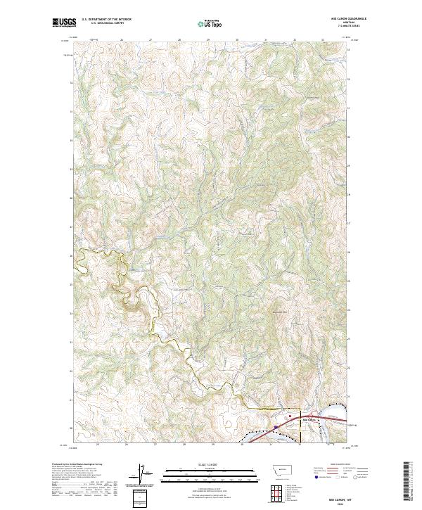
2024 Map of Mid Canon
USGS Topo · Published 2024About this map
The Missouri River carves through the southeastern corner of this quadrangle, serving as the focal point for the small community at Mid Canon. This area is defined by the significant confluence where the Dearborn River meets the Missouri, creating a complex drainage system fed by numerous tributaries such as Paul Creek and Andy Creek. The topography is dominated by prominent summits including Sawmill Peak in the northeast and Sugarloaf Mtn further south.
Find a feature on this map
65 named features on this map. Tap any name to fly to it.
Don’t see what you’re looking for? This feature index may not catch every label — zoom into the map to look around manually.
Map Details
Editions of this 2024 Mid Canon Map
This is the sole edition of this map. No revisions or reprints were ever made.
Other maps of this area

1886 · Great Falls
USGS Topo · 1:250,000

1943 · Hogan
USGS Topo · 1:125,000

1954 · Great Falls
USGS Topo · 1:250,000

1955 · Choteau
USGS Topo · 1:250,000

1957 · Choteau
USGS Topo · 1:250,000

1957 · Great Falls
USGS Topo · 1:250,000

1958 · Choteau
USGS Topo · 1:250,000

1960 · Simms
USGS Topo · 1:62,500

1961 · Craig
USGS Topo · 1:24,000

1961 · Hardy
USGS Topo · 1:24,000