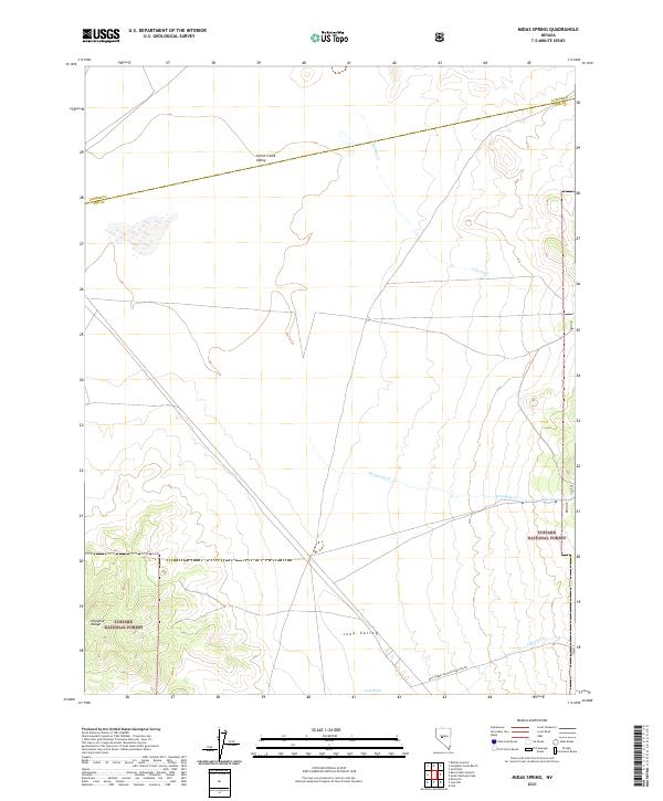
2021 Map of Midas Spring
USGS Topo · Published 2021About this map
Midas Spring serves as a small water source within the arid landscape of the Great Basin, where the Paradise Range rises to the west. This desert terrain is defined by wide expanses including Smith Creek Valley and Ione Valley, which are separated by low-lying ridges and seasonal watercourses. The eastern portion of the map is dominated by the managed lands of the Toiyabe National Forest, where the topography becomes more pronounced.
Find a feature on this map
17 named features on this map. Tap any name to fly to it.
Don’t see what you’re looking for? This feature index may not catch every label — zoom into the map to look around manually.
Map Details
Editions of this 2021 Midas Spring Map
This is the sole edition of this map. No revisions or reprints were ever made.
Other maps of this area

1907 · Tonopah
USGS Topo · 1:250,000

1908 · Tonopah
USGS Topo · 1:250,000

1948 · Paradise Peak
USGS Topo · 1:62,500

1948 · Ione
USGS Topo · 1:62,500

1950 · Paradise Peak
USGS Topo · 1:62,500

1950 · Ione
USGS Topo · 1:62,500

1955 · Millett
USGS Topo · 1:250,000

1956 · South Shoshone Peak
USGS Topo · 1:62,500

1956 · Tonopah
USGS Topo · 1:250,000

1959 · Tonopah
USGS Topo · 1:250,000