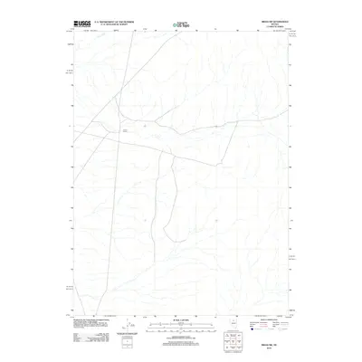
2012 Map of Midas SW
USGS Topo · Published 2012About this map
Guard Corral stands as a focal point in this high-desert landscape of Elko County, marking a site of human activity in an otherwise vast expanse of open range. The drainage of Evans Creek defines the northern reaches of the quadrangle, illustrating the subtle water systems that govern life in this part of Nevada. A sparse network of roads and four-wheel-drive trails crisscrosses the terrain, revealing the modern infrastructure required to navigate and manage this expansive territory. This 2012 survey captures the area in a state of quietude, primarily serving as grazing land or transitional territory between larger geographic landmarks.
Find a feature on this map
2 named features on this map. Tap any name to fly to it.
Don’t see what you’re looking for? This feature index may not catch every label — zoom into the map to look around manually.
Map Details
Editions of this 2012 Midas SW Map
This is the sole edition of this map. No revisions or reprints were ever made.
Other maps of this area

1882 · Paradise
USGS Topo · 1:250,000

1893 · Paradise
USGS Topo · 1:250,000

1932 · Sonoma Range
USGS Topo · 1:250,000

1939 · Sonoma Range
USGS Topo · 1:250,000

1955 · McDermitt
USGS Topo · 1:250,000

1955 · Winnemucca
USGS Topo · 1:250,000

1958 · Winnemucca
USGS Topo · 1:250,000

1959 · McDermitt
USGS Topo · 1:250,000

1962 · Winnemucca
USGS Topo · 1:250,000

1965 · Izzenhood Gap
USGS Topo · 1:24,000