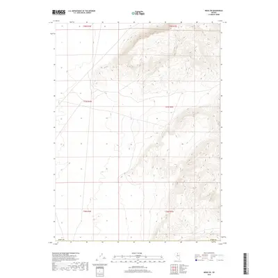
2018 Map of Midas SW
USGS Topo · Published 2018About this map
The high desert terrain of Elko Co dominates this landscape, defined by sharp elevation shifts across multiple township and range sections. The survey highlights a rugged topography where the western slopes of a mountain range meet a broad valley floor, most notably within T37n R45e and T38n R44e. This 2018 data provides a precise view of the Public Land Survey System (PLSS) grid, documenting the boundary divisions between T36n R44e and the adjacent northern tiers. The map is primarily a study in relief and drainage patterns, documenting the natural landscape of this portion of Nevada with minimal modern development shown.
Find a feature on this map
7 named features on this map. Tap any name to fly to it.
Don’t see what you’re looking for? This feature index may not catch every label — zoom into the map to look around manually.
Map Details
Editions of this 2018 Midas SW Map
This is the sole edition of this map. No revisions or reprints were ever made.
Other maps of this area

1882 · Paradise
USGS Topo · 1:250,000

1893 · Paradise
USGS Topo · 1:250,000

1932 · Sonoma Range
USGS Topo · 1:250,000

1939 · Sonoma Range
USGS Topo · 1:250,000

1955 · McDermitt
USGS Topo · 1:250,000

1955 · Winnemucca
USGS Topo · 1:250,000

1958 · Winnemucca
USGS Topo · 1:250,000

1959 · McDermitt
USGS Topo · 1:250,000

1962 · Winnemucca
USGS Topo · 1:250,000

1965 · Izzenhood Gap
USGS Topo · 1:24,000