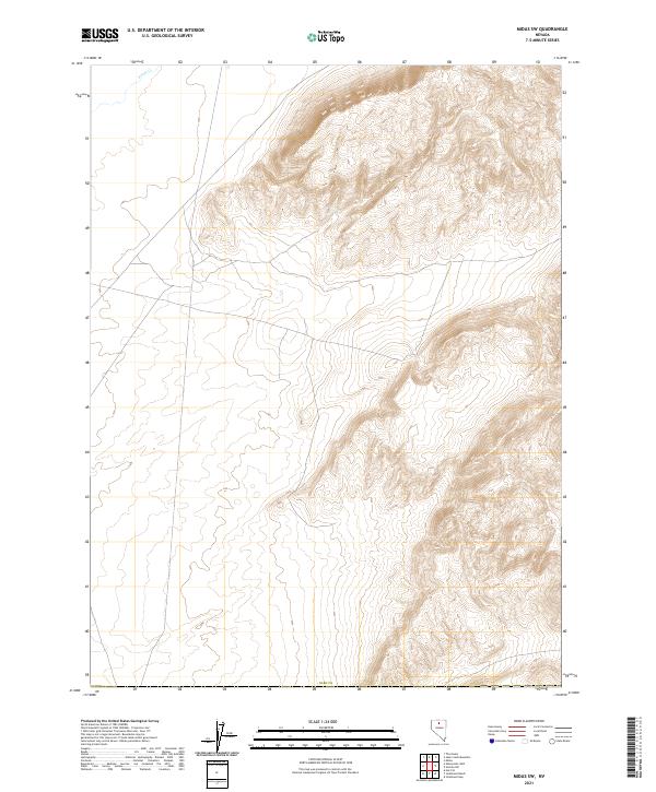
2021 Map of Midas SW
USGS Topo · Published 2021About this map
Elko Co serves as the backdrop for this topographic study of northern Nevada’s high desert terrain. The landscape is defined by its dramatic relief, where the flat, open valleys of the western half contrast sharply with the rising mountainous slopes to the east. The primary drainage through this arid corridor is Evans Cr, which cuts through the northwestern corner of the quadrangle. The map reflects the systematic organization of the American West, meticulously marking township and range boundaries such as t38n r44e and T37n R45e. This data reveals the vast, open nature of the region, where water sources like Evans Cr dictated the movement and settlement patterns of ranching and mining interests throughout the county’s history.
Find a feature on this map
8 named features on this map. Tap any name to fly to it.
Don’t see what you’re looking for? This feature index may not catch every label — zoom into the map to look around manually.
Map Details
Editions of this 2021 Midas SW Map
This is the sole edition of this map. No revisions or reprints were ever made.
Other maps of this area

1882 · Paradise
USGS Topo · 1:250,000

1893 · Paradise
USGS Topo · 1:250,000

1932 · Sonoma Range
USGS Topo · 1:250,000

1939 · Sonoma Range
USGS Topo · 1:250,000

1955 · McDermitt
USGS Topo · 1:250,000

1955 · Winnemucca
USGS Topo · 1:250,000

1958 · Winnemucca
USGS Topo · 1:250,000

1959 · McDermitt
USGS Topo · 1:250,000

1962 · Winnemucca
USGS Topo · 1:250,000

1965 · Izzenhood Gap
USGS Topo · 1:24,000