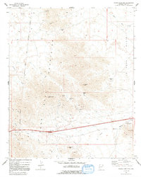
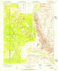
1971 Map of Middle Camp Mtn.
USGS Topo · Published 1992About this map
The Dome Rock Mountains dominate this landscape, characterized by a complex network of mining operations and water-scarce terrain. Throughout the high country, numerous sites such as the Marquitta Mine and the Darling Mine point to a history of mineral exploration, supported by features like Oldman Tanque and Lead Well. The rugged geography is defined by prominent peaks and crossings, including Middle Camp Mtn, Oldman Mtn, and Marquitta Pass, providing a detailed look at the trail and 4WD network that linked these remote sites in the early 1970s.
Find a feature on this map
32 named features on this map. Tap any name to fly to it.
Don’t see what you’re looking for? This feature index may not catch every label — zoom into the map to look around manually.
Map Details
Editions of this 1971 Middle Camp Mtn. Map
4 editions found
Other maps of this area

1930 · Linskey
USGS Topo · 1:62,500

1931 · Moon Mtn
USGS Topo · 1:62,500

1932 · Moon Mtn
USGS Topo · 1:62,500

1933 · Cunningham Mtn
USGS Topo · 1:48,000

1940 · Dome Rock Mts
USGS Topo · 1:62,500

1942 · Blythe
USGS Topo · 1:250,000

1942 · MOON MTN
USGS Topo · 1:62,500

1954 · Salton Sea
USGS Topo · 1:250,000

1955 · Salton Sea
USGS Topo · 1:250,000
1955 · Moon Mtn
USGS Topo · 1:24,000