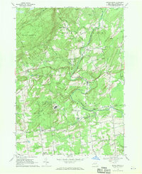
1967 Map of Middle Grove
USGS Topo · Published 1971About this map
The US Reservation Knolls Atomic Energy Plant dominates the central landscape of this Saratoga County survey, marking a significant era of nuclear research and military infrastructure. Located near West Milton, the facility is surrounded by a network of rural hamlets including Middle Grove and Rock City Falls. The terrain is defined by the winding course of Kayaderosseras Creek and Glowegee Creek, which once powered local industry and mills across the townships of Milton, Galway, and Greenfield.
Find a feature on this map
71 named features on this map. Tap any name to fly to it.
Don’t see what you’re looking for? This feature index may not catch every label — zoom into the map to look around manually.
Map Details
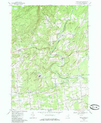
Editions of this 1967 Middle Grove Map
2 editions found
Other maps of this area

1893 · Schenectady
USGS Topo · 1:62,500

1895 · Schenectady
USGS Topo · 1:62,500

1895 · Amsterdam
USGS Topo · 1:62,500

1898 · Schenectady
USGS Topo · 1:62,500

1899 · Broadalbin
USGS Topo · 1:62,500

1902 · Broadalbin
USGS Topo · 1:62,500

1902 · Saratoga
USGS Topo · 1:62,500

1930 · Schenectady
USGS Topo · 1:62,500

1931 · Amsterdam
USGS Topo · 1:62,500

1934 · Saratoga Springs
USGS Topo · 1:24,000