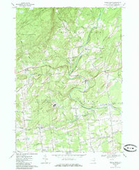
1967 Map of Middle Grove
USGS Topo · Published 1985About this map
The U S Reservation Knolls Atomic Energy Plant occupies a significant portion of the landscape in the late 1960s, marking a period of modern government research alongside older rural settlements. Flowing through the center of the sheet, the Kayaderosseras Creek provides a geographic anchor for many of the local communities, including Middle Grove and the industrial-titled Rock City Falls.
Find a feature on this map
67 named features on this map. Tap any name to fly to it.
Don’t see what you’re looking for? This feature index may not catch every label — zoom into the map to look around manually.
Map Details
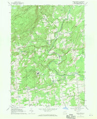
Editions of this 1967 Middle Grove Map
2 editions found
Other maps of this area

1893 · Schenectady
USGS Topo · 1:62,500

1895 · Schenectady
USGS Topo · 1:62,500

1895 · Amsterdam
USGS Topo · 1:62,500

1898 · Schenectady
USGS Topo · 1:62,500

1899 · Broadalbin
USGS Topo · 1:62,500

1902 · Broadalbin
USGS Topo · 1:62,500

1902 · Saratoga
USGS Topo · 1:62,500

1930 · Schenectady
USGS Topo · 1:62,500

1931 · Amsterdam
USGS Topo · 1:62,500

1934 · Saratoga Springs
USGS Topo · 1:24,000