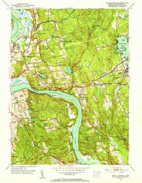
1952 Map of Middle Haddam
USGS Topo · Published 1953About this map
The Connecticut River dominates this mid-century landscape, carving through the hills at a narrow passage known as The Straits. Along its banks, the region's industrial and social character is defined by the New York New Haven and Hartford RR and a network of small settlements like Cobalt, Gildersleeve, and Middle Haddam. The map reveals a transition from the river-oriented commerce of Old Rock Landing to the recreational and institutional growth of the early 1950s, evidenced by the numerous youth camps around Pocotopaug Lake and Great Hill Pond.
Find a feature on this map
91 named features on this map. Tap any name to fly to it.
Don’t see what you’re looking for? This feature index may not catch every label — zoom into the map to look around manually.
Map Details
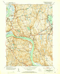
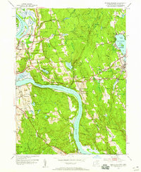
Editions of this 1952 Middle Haddam Map
3 editions found
Other maps of this area

1892 · Gilead
USGS Topo · 1:62,500

1893 · Guilford
USGS Topo · 1:62,500

1893 · Middletown
USGS Topo · 1:62,500

1893 · Saybrook
USGS Topo · 1:62,500

1906 · Farmington
USGS Topo · 1:125,000

1928 · Cromwell
USGS Topo · 1:24,000

1928 · Glastonbury
USGS Topo · 1:24,000

1943 · Durham
USGS Topo · 1:25,000

1944 · Hartford South
USGS Topo · 1:31,680

1944 · Marlboro
USGS Topo · 1:31,680