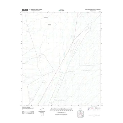
2011 Map of Middle Mountains South
USGS Topo · Published 2011About this map
Round Top Peak stands as a prominent landmark in the Middle Mountains, rising above a landscape defined by the intricate drainage patterns of the desert. This 2011 survey illustrates the modern road network and geographic features of this arid region in Yuma County, dominated by the expansive Castle Dome Wash that winds through the center of the sheet. The terrain is largely defined by these dry watercourses and the stark topography of the mountains. Transportation through this part of the Sonoran Desert is anchored by Castle Dome Mine Rd, which provides access to the interior. The map captures the intersection of desert geology and modern infrastructure, showing the relationship between these seasonal washes and the primary access routes used by those navigating the mountain range.
Find a feature on this map
4 named features on this map. Tap any name to fly to it.
Don’t see what you’re looking for? This feature index may not catch every label — zoom into the map to look around manually.
Map Details
Editions of this 2011 Middle Mountains South Map
This is the sole edition of this map. No revisions or reprints were ever made.
Other maps of this area

1929 · Laguna
USGS Topo · 1:62,500

1939 · Red Hill
USGS Topo · 1:62,500

1942 · Yuma
USGS Topo · 1:250,000

1942 · Blythe
USGS Topo · 1:250,000

1943 · Laguna
USGS Topo · 1:62,500

1954 · El Centro
USGS Topo · 1:250,000

1954 · Salton Sea
USGS Topo · 1:250,000

1954 · Red Hill
USGS Topo · 1:62,500

1955 · Salton Sea
USGS Topo · 1:250,000

1955 · El Centro
USGS Topo · 1:250,000