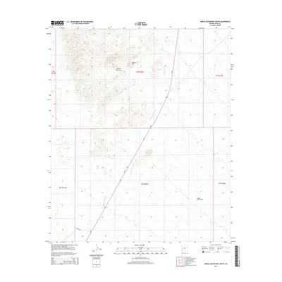
2014 Map of Middle Mountains South
USGS Topo · Published 2014About this map
Middle Mountains dominate the northwestern landscape of this Yuma County survey, characterized by a series of prominent peaks and the notable Natural Arch formation. The terrain transitions from these high points into the expansive Castle Dome Plain to the southeast, a broad alluvial expanse defined by the drainage of Castle Dome Wash. This ephemeral watercourse cuts a diagonal path across the quadrangle, paralleling the modern corridor of Us-95. The road network is sparse, with Ocotillo Rd providing one of the few named access points into the desert interior. The map illustrates the structured division of public lands, showing the intersection of several townships including t5s r20w and t6s r20w, reflecting the systematic surveying of the Arizona desert during the early 21st century.
Find a feature on this map
12 named features on this map. Tap any name to fly to it.
Don’t see what you’re looking for? This feature index may not catch every label — zoom into the map to look around manually.
Map Details
Editions of this 2014 Middle Mountains South Map
This is the sole edition of this map. No revisions or reprints were ever made.
Other maps of this area

1929 · Laguna
USGS Topo · 1:62,500

1939 · Red Hill
USGS Topo · 1:62,500

1942 · Yuma
USGS Topo · 1:250,000

1942 · Blythe
USGS Topo · 1:250,000

1943 · Laguna
USGS Topo · 1:62,500

1954 · El Centro
USGS Topo · 1:250,000

1954 · Salton Sea
USGS Topo · 1:250,000

1954 · Red Hill
USGS Topo · 1:62,500

1955 · Salton Sea
USGS Topo · 1:250,000

1955 · El Centro
USGS Topo · 1:250,000