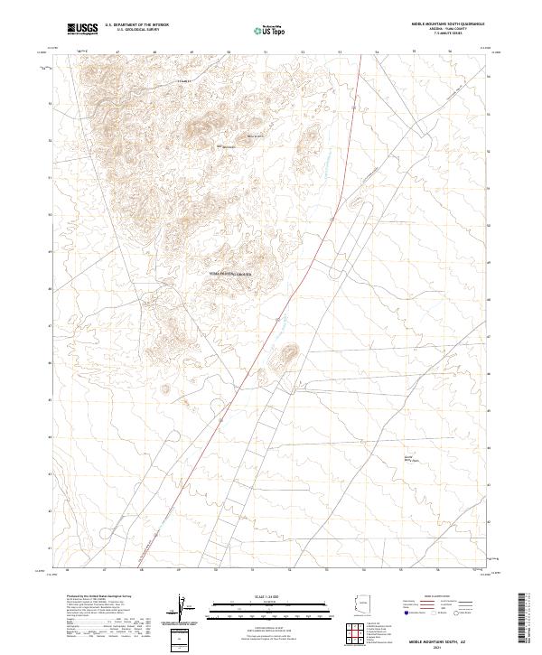
2021 Map of Middle Mountains South
USGS Topo · Published 2021About this map
Mid Mountains dominate the northern terrain of this Yuma County landscape, where the elevation rises toward a prominent Natural Arch. The geography is defined by the sweeping transition from these rocky uplands down into the expansive Castle Dome Plain, a characteristic desert basin floor. Access through this arid environment is anchored by the Castle Dome Mine Rd, which skirts the eastern edges of the mountains. This corridor follows the natural drainage patterns of the Castle Dome Wash, illustrating the traditional routes used to navigate the desert between the high peaks and the open plains. The map provides a clear record of the modern road network, including Route 95, as it intersects with older mining access paths in a region historically shaped by mineral exploration.
Find a feature on this map
11 named features on this map. Tap any name to fly to it.
Don’t see what you’re looking for? This feature index may not catch every label — zoom into the map to look around manually.
Map Details
Editions of this 2021 Middle Mountains South Map
This is the sole edition of this map. No revisions or reprints were ever made.
Other maps of this area

1929 · Laguna
USGS Topo · 1:62,500

1939 · Red Hill
USGS Topo · 1:62,500

1942 · Yuma
USGS Topo · 1:250,000

1942 · Blythe
USGS Topo · 1:250,000

1943 · Laguna
USGS Topo · 1:62,500

1954 · El Centro
USGS Topo · 1:250,000

1954 · Salton Sea
USGS Topo · 1:250,000

1954 · Red Hill
USGS Topo · 1:62,500

1955 · Salton Sea
USGS Topo · 1:250,000

1955 · El Centro
USGS Topo · 1:250,000