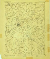
1893 Map of Middleboro
USGS Topo · Published 1905About this map
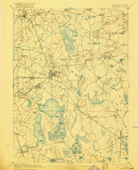
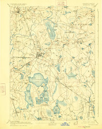
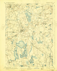
Paper Mill Village and Middleboro serve as focal points in this late 19th-century landscape, which is defined by a complex network of the Old Colony Railroad branches. These rail lines, including the Taunton Branch and Cape Cod Branch, intersect at key junctions like Rock Station and Haskins Station, reflecting the industrial and transit-heavy nature of Plymouth County during this era. The geography is characterized by expansive wetlands and water bodies, most notably the Great Cedar Swamp and the large expanse of Assawompsett Pond.
Find a feature on this map
153 named features on this map. Tap any name to fly to it.
Don’t see what you’re looking for? This feature index may not catch every label — zoom into the map to look around manually.
Map Details
Editions of this 1893 Middleboro Map
8 editions found

Other maps of this area

1885 · New Bedford
USGS Topo · 1:62,500

1885 · Abington
USGS Topo · 1:62,500

1885 · Duxbury
USGS Topo · 1:62,500

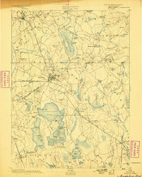
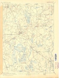
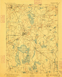
1885 · Middleboro
USGS Topo · 1:62,500

1885 · Taunton
USGS Topo · 1:62,500

1886 · Falmouth
USGS Topo · 1:62,500

1886 · Plymouth
USGS Topo · 1:62,500

1886 · Dedham
USGS Topo · 1:62,500

1888 · Duxbury
USGS Topo · 1:62,500

1888 · New Bedford
USGS Topo · 1:62,500