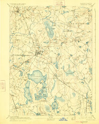
1893 Map of Middleboro
USGS Topo · Published 1925About this map
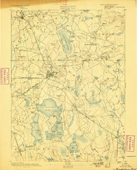
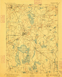
Middleboro serves as a critical junction for the Old Colony Railroad in the late 19th century, with rail lines branching toward Taunton River, Carver, and Cape Cod. The landscape is defined by its extensive wetlands and industrial hamlets, including Paper Mill Village and Waterville. The Nemasket River snakes through the center of the sheet, passing the settlement of Nemasket and moving toward the high ground at The Green. This 1885 survey preserves the intricate water systems of Plymouth County, from the expansive Great Cedar Swamp to the clusters of ponds near Lakeville. Small trackside stops like Rock Station and Haskins Station illustrate the importance of the rail network to local commerce and travel before the rise of modern highways.
Find a feature on this map
140 named features on this map. Tap any name to fly to it.
Don’t see what you’re looking for? This feature index may not catch every label — zoom into the map to look around manually.
Map Details
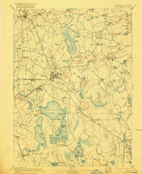
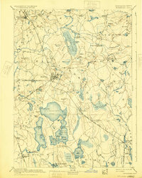
Editions of this 1893 Middleboro Map
8 editions found

Other maps of this area

1885 · New Bedford
USGS Topo · 1:62,500

1885 · Abington
USGS Topo · 1:62,500

1885 · Duxbury
USGS Topo · 1:62,500

1885 · Middleboro
USGS Topo · 1:62,500

1885 · Taunton
USGS Topo · 1:62,500

1886 · Falmouth
USGS Topo · 1:62,500

1886 · Plymouth
USGS Topo · 1:62,500

1886 · Dedham
USGS Topo · 1:62,500

1888 · Duxbury
USGS Topo · 1:62,500

1888 · New Bedford
USGS Topo · 1:62,500