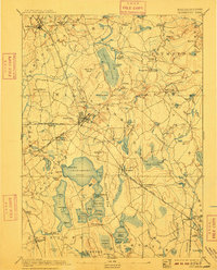
1893 Map of Middleboro
USGS Topo · Published 1909About this map
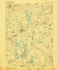
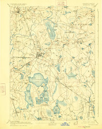
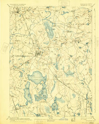
The Middleboro rail hub dominates this late 19th-century landscape, where several lines of the Old Colony Railroad converge. This network, including branches to Taunton, Fall River, and Cape Cod, highlights the town's importance as a regional transportation junction before the rise of the automobile. The surrounding terrain is a complex mosaic of wetlands and glacial features, notably the Great Cedar Swamp and the massive Assawompsett Pond. Smaller settlements like Paper Mill Village and Titicut reflect the era's local industry and river-based development along the Taunton River. To the east, the rural character of Carver is visible through its scattered ponds and brooks, while the southern reaches towards Rochester show extensive lowlands like the Logging Swamp. The presence of numerous specific rail stops, such as Rock Station and Haskins Station, provides a precise look at the logistics of rural Plymouth County life during this period.
Find a feature on this map
146 named features on this map. Tap any name to fly to it.
Don’t see what you’re looking for? This feature index may not catch every label — zoom into the map to look around manually.
Map Details
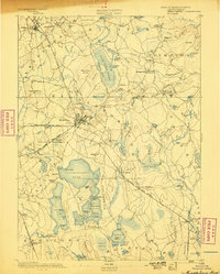
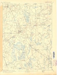
Editions of this 1893 Middleboro Map
8 editions found

Other maps of this area

1885 · New Bedford
USGS Topo · 1:62,500

1885 · Abington
USGS Topo · 1:62,500

1885 · Duxbury
USGS Topo · 1:62,500

1885 · Middleboro
USGS Topo · 1:62,500

1885 · Taunton
USGS Topo · 1:62,500

1886 · Falmouth
USGS Topo · 1:62,500

1886 · Plymouth
USGS Topo · 1:62,500

1886 · Dedham
USGS Topo · 1:62,500

1888 · Duxbury
USGS Topo · 1:62,500

1888 · New Bedford
USGS Topo · 1:62,500