
1893 Map of Middleboro
USGS Topo · Published 1893About this map
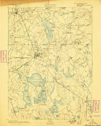
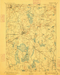
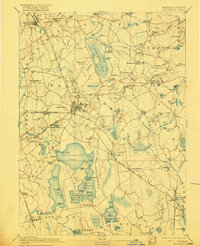
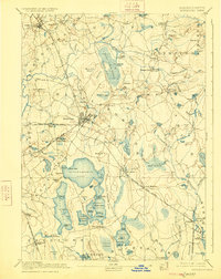
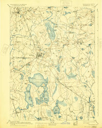
The Namasket River flows through the heart of Middleboro, a vital transportation hub in the late nineteenth century. This era is defined by the convergence of several lines of the Old Colony Railroad, including the Taunton Branch and the Cape Cod Branch. These tracks connected manufacturing points like Paper Mill Village and Titicut to the broader regional economy. The landscape is dominated by the massive water systems of Assawompsett Pond and the surrounding wetlands of Great Cedar Swamp. Local commerce and community life are evident in the numerous small stations and sub-settlements like Eddyville, Rock Station, and East Freetown Station. The detailed topography recorded by Sumner H. Bodfish reveals the intricate drainage patterns of the Wenatuxet River and numerous brooks that powered early industry.
Find a feature on this map
125 named features on this map. Tap any name to fly to it.
Don’t see what you’re looking for? This feature index may not catch every label — zoom into the map to look around manually.
Map Details
Editions of this 1893 Middleboro Map
8 editions found
Other maps of this area

1885 · New Bedford
USGS Topo · 1:62,500

1885 · Abington
USGS Topo · 1:62,500

1885 · Duxbury
USGS Topo · 1:62,500

1885 · Middleboro
USGS Topo · 1:62,500

1885 · Taunton
USGS Topo · 1:62,500

1886 · Falmouth
USGS Topo · 1:62,500

1886 · Plymouth
USGS Topo · 1:62,500

1886 · Dedham
USGS Topo · 1:62,500

1888 · Duxbury
USGS Topo · 1:62,500

1888 · New Bedford
USGS Topo · 1:62,500