
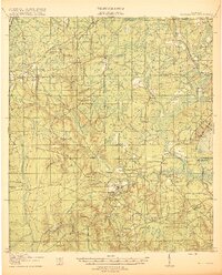
1918 Map of Middleburg
USGS Topo · Published 1918About this map
Middleburg sits at the strategic junction of the North and South Forks of Black Creek, serving as a central hub in Clay County during the late 1910s. The landscape is defined by an extensive network of watercourses and small settlements, including Peoria and Russell, connected by early thoroughfares like the Gainesville Road and Jacksonville Road. The importance of water-based transit is evident at Rideout Ferry, which provided critical crossing over the creek before extensive bridging.
Find a feature on this map
56 named features on this map. Tap any name to fly to it.
Don’t see what you’re looking for? This feature index may not catch every label — zoom into the map to look around manually.
Map Details
Editions of this 1918 Middleburg Map
4 editions found
Other maps of this area

1917 · Orange Park
USGS Topo · 1:62,500

1917 · Cambon
USGS Topo · 1:62,500

1917 · Macclenny
USGS Topo · 1:62,500

1918 · Lawtey
USGS Topo · 1:62,500

1918 · Cambon
USGS Topo · 1:62,500

1918 · Jacksonville
USGS Topo · 1:62,500

1918 · Orange Park
USGS Topo · 1:62,500

1918 · Macclenny
USGS Topo · 1:62,500

1941 · Starke
USGS Topo · 1:62,500

1941 · Middleburg
USGS Topo · 1:62,500