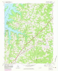
1970 Map of Middleburg
USGS Topo · Published 1983About this map
Middleburg and Manson serve as central nodes along the Seaboard Coast Line railroad, illustrating the importance of rail transit to the rural economy of Vance and Warren counties during the 1970s. The landscape is defined by the expansive waters of the John H Kerr Reservoir, which created the recreational geography of the Bullocksville State Recreation Area and Satterwhite State Recreation Area.
Find a feature on this map
37 named features on this map. Tap any name to fly to it.
Don’t see what you’re looking for? This feature index may not catch every label — zoom into the map to look around manually.
Map Details
Editions of this 1970 Middleburg Map
2 editions found
Other maps of this area

1953 · Greensboro
USGS Topo · 1:250,000

1954 · Greensboro
USGS Topo · 1:250,000

1955 · Boydton
USGS Topo · 1:62,500

1962 · Greensboro
USGS Topo · 1:250,000

1966 · Greensboro
USGS Topo · 1:250,000

1968 · Bracey
USGS Topo · 1:24,000
1968 · Tungsten
USGS Topo · 1:24,000

1968 · John H Kerr Dam
USGS Topo · 1:24,000

1970 · Vicksboro
USGS Topo · 1:24,000
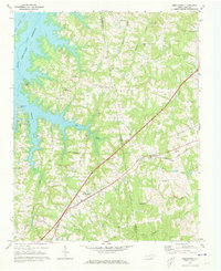
1970 · Middleburg
USGS Topo · 1:24,000