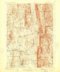
1905 Map of Middlebury
USGS Topo · Published 1926About this map
The New Haven River cuts through the center of this 1905 landscape, powering the industry at New Haven Mills and Brooksville before joining the larger Otter Creek drainage. Settled patterns of the early 20th century are evident in the concentration of villages like Bristol and Starksboro along the base of the massive Hogback Mountain and South Mountain ridges. Transportation at the time relied on a mix of the Rutland railroad line through New Haven Junction and historic thoroughfares like the Plank Road and Rocky Road.
Find a feature on this map
68 named features on this map. Tap any name to fly to it.
Don’t see what you’re looking for? This feature index may not catch every label — zoom into the map to look around manually.
Map Details
Editions of this 1905 Middlebury Map
5 editions found
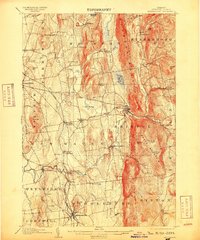
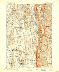
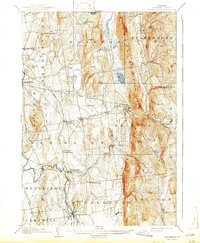
Other maps of this area

1894 · Port Henry
USGS Topo · 1:62,500

1894 · Ticonderoga
USGS Topo · 1:62,500

1895 · Willsboro
USGS Topo · 1:62,500

1896 · Ticonderoga
USGS Topo · 1:62,500

1898 · Port Henry
USGS Topo · 1:62,500

1902 · Ticonderoga
USGS Topo · 1:62,500

1902 · Brandon
USGS Topo · 1:62,500

1903 · Middlebury
USGS Topo · 1:62,500

1904 · Brandon
USGS Topo · 1:62,500

1905 · Middlebury
USGS Topo · 1:62,500