
1905 Map of Middlebury
USGS Topo · Published 1905About this map
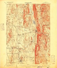
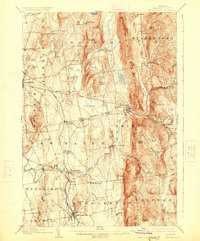
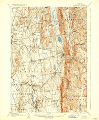
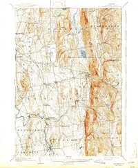
The town of Middlebury and the industrial village of Bristol anchor this early 1900s survey of the Champlain Valley. The landscape transitions from the level Bristol Flats and Cedar Swamp in the center to the massive elevations of Hogback Mountain and South Mountain to the east. A notable industrial legacy is visible at the Bristol Orebed, suggesting the area's history of mineral extraction.
Find a feature on this map
73 named features on this map. Tap any name to fly to it.
Don’t see what you’re looking for? This feature index may not catch every label — zoom into the map to look around manually.
Map Details
Editions of this 1905 Middlebury Map
5 editions found
Other maps of this area

1894 · Port Henry
USGS Topo · 1:62,500

1894 · Ticonderoga
USGS Topo · 1:62,500

1895 · Willsboro
USGS Topo · 1:62,500

1896 · Ticonderoga
USGS Topo · 1:62,500

1898 · Port Henry
USGS Topo · 1:62,500

1902 · Ticonderoga
USGS Topo · 1:62,500

1902 · Brandon
USGS Topo · 1:62,500

1903 · Middlebury
USGS Topo · 1:62,500

1904 · Brandon
USGS Topo · 1:62,500

1906 · Burlington
USGS Topo · 1:62,500