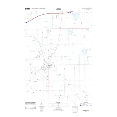
2013 Map of Middlebury
USGS Topo · Published 2013About this map
Middlebury serves as the focal point of this Elkhart County landscape, where the Little Elkhart River winds through a terrain defined by established agricultural operations and water management. The map reveals an intricate network of drainage systems, including Mather Ditch, York Township Ditch, and Love Joy Ditch, which support the region's productive farmlands. This 2013 survey provides a detailed look at the rural economy of York Township, identifying specific commercial and family agricultural sites such as Culver Duck Farms, Smeltzer Farms, and Crystal Valley Dairy Farm. To the north, the small community of Vistula sits near the state line, while the eastern portion of the quadrangle is dotted with natural water bodies like Stone Lake, Brokesha Lake, and Hunter Lake. The transition from the town’s residential streets to the surrounding dairy and specialty farms illustrates the enduring character of northern Indiana’s agrarian heartland.
Find a feature on this map
126 named features on this map. Tap any name to fly to it.
Don’t see what you’re looking for? This feature index may not catch every label — zoom into the map to look around manually.
Map Details
Editions of this 2013 Middlebury Map
This is the sole edition of this map. No revisions or reprints were ever made.
Other maps of this area

1914 · Three Rivers
USGS Topo · 1:62,500

1916 · Three Rivers
USGS Topo · 1:62,500

1943 · Three Rivers
USGS Topo · 1:62,500

1948 · Vandalia
USGS Topo · 1:62,500

1949 · Vandalia
USGS Topo · 1:62,500

1953 · Fort Wayne
USGS Topo · 1:250,000

1956 · Fort Wayne
USGS Topo · 1:250,000

1959 · Topeka
USGS Topo · 1:24,000

1959 · Millersburg
USGS Topo · 1:24,000

1959 · Goshen
USGS Topo · 1:24,000