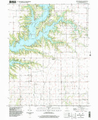
2024 Map of Middlesworth
USGS Topo · Published 2024About this map
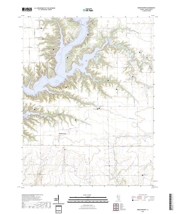
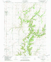
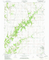
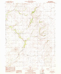
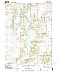
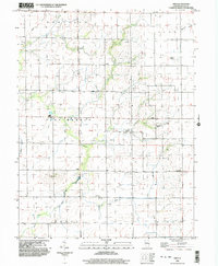
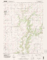
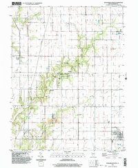
Lake Shelbyville dominates the northern landscape of this Shelby County study, its irregular shoreline reaching into numerous finger-like inlets such as Three Fingers Cove and Eagle Nest Cove. The terrain is defined by the transition from these modern waters to the agricultural uplands, where the small settlements of Middlesworth and Lithia serve as local hubs. For those tracing family lineages in the region, the map is remarkably dense with burial sites, including the Middlesworth Cem, Sulphur Springs Cem, and Quigley Cem. South of the lake, the geography shifts toward a network of drainage creeks including Skull Creek, Lithia Springs Creek, and Richland Creek, which helped dictate the original placement of farmsteads and early roads long before the Kaskaskia River was impounded to form the reservoir.
Find a feature on this map
80 named features on this map. Tap any name to fly to it.
Don’t see what you’re looking for? This feature index may not catch every label — zoom into the map to look around manually.
Map Details
Editions of this 2024 Middlesworth Map
This is the sole edition of this map. No revisions or reprints were ever made.
Historical Maps of Middlesworth Through Time
16 maps found
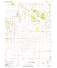
1980 Middlesworth
Shelby County, IL
1981 Fancher
Shelby County, IL
1981 Middlesworth
Shelby County, IL
1981 Stewardson East
Shelby County, IL
1981 Stewardson West
Shelby County, IL
1983 Obed
Shelby County, IL
1998 Fancher
Shelby County, IL
1998 Obed
Shelby County, IL
1998 Stewardson East
Shelby County, IL
1998 Stewardson West
Shelby County, IL
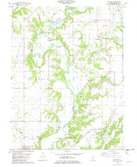
1999 Middlesworth
Shelby County, IL
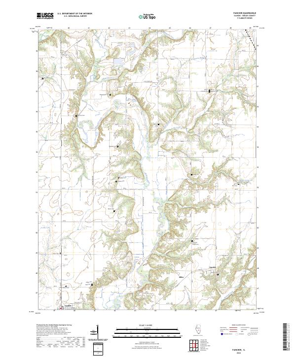
2024 Fancher
Shelby County, IL
2024 Middlesworth
Shelby County, IL
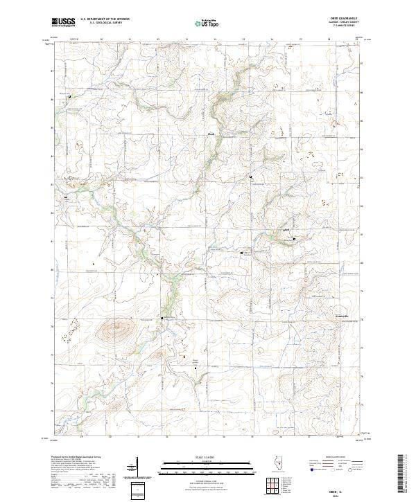
2024 Obed
Shelby County, IL
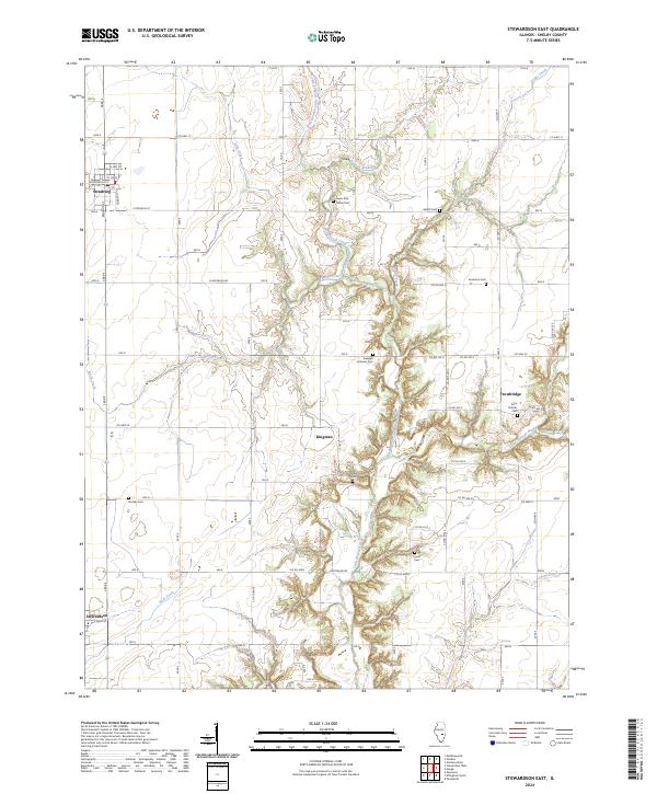
2024 Stewardson East
Shelby County, IL
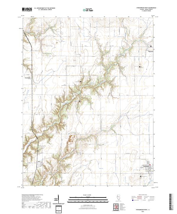
2024 Stewardson West
Shelby County, IL