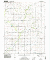
1998 Map of Obed
USGS Topo · Published 2003About this map
Agricultural patterns and small rural settlements dominate the border of Macon and Shelby Counties in this late twentieth-century survey. The landscape is structured around the meandering drainage of the Flat Branch, which carves through the central portion of the map, and Wilborn Creek to the northeast. Small community centers such as Pleak, Obed, and Yantisville are documented here, often anchored by country churches like Little Flock Ch and Locust Grove Ch.
Find a feature on this map
23 named features on this map. Tap any name to fly to it.
Don’t see what you’re looking for? This feature index may not catch every label — zoom into the map to look around manually.
Map Details
Editions of this 1998 Obed Map
This is the sole edition of this map. No revisions or reprints were ever made.
Other maps of this area

1942 · Shelbyville
USGS Topo · 1:62,500

1946 · Shelbyville
USGS Topo · 1:62,500

1947 · Pana
USGS Topo · 1:62,500

1949 · Dalton City
USGS Topo · 1:62,500

1949 · Pana
USGS Topo · 1:62,500

1952 · Assumption
USGS Topo · 1:62,500

1958 · Decatur
USGS Topo · 1:250,000

1961 · Decatur
USGS Topo · 1:250,000
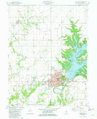
1981 · Shelbyville
USGS Topo · 1:24,000
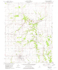
1981 · Tower Hill
USGS Topo · 1:24,000