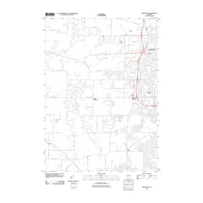
2010 Map of Middleton
USGS Topo · Published 2010About this map
Middleton and its surrounding rural expansions are documented here during a period of significant suburban development west of Lake Mendota. The transition from agricultural land to residential neighborhoods is evident as modern subdivisions begin to surround established sites like Appleberry Farm and the historic Saint Johns Cemetery. Major transport corridors, including the path of the Military Ridge State Trl and the activity near Morey Airport, define the movement of people across this Dane County landscape.
Find a feature on this map
62 named features on this map. Tap any name to fly to it.
Don’t see what you’re looking for? This feature index may not catch every label — zoom into the map to look around manually.
Map Details
Editions of this 2010 Middleton Map
This is the sole edition of this map. No revisions or reprints were ever made.
Other maps of this area

1889 · Evansville
USGS Topo · 1:62,500

1890 · Madison
USGS Topo · 1:62,500

1892 · Madison
USGS Topo · 1:62,500

1894 · Evansville
USGS Topo · 1:62,500

1904 · Madison
USGS Topo · 1:62,500

1906 · Evansville
USGS Topo · 1:62,500

1906 · Madison
USGS Topo · 1:62,500

1907 · Cross Plains
USGS Topo · 1:62,500

1909 · Cross Plains
USGS Topo · 1:62,500

1923 · New Glarus
USGS Topo · 1:62,500